Some people should just keep their thoughts to themselves.. I hope this person was completely humiliated by this complaint….
Noise Complaint at Luke AFB, AZ
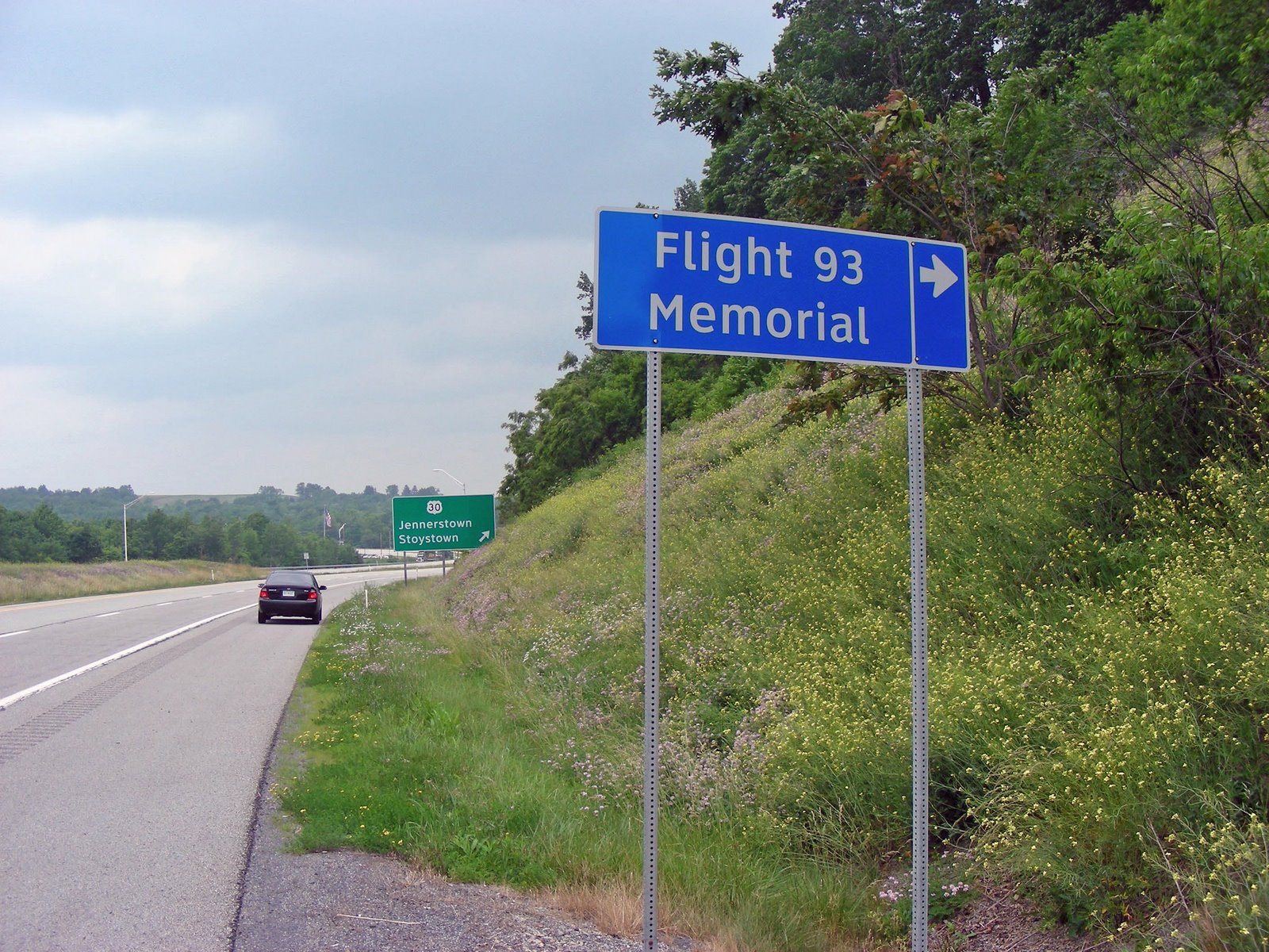
Luke AFB is west of Phoenix and is rapidly being surrounded by civilization that complains about the noise from the base and its planes, forgetting that it was there long before they were. A certain Lieutenant Colonel at Luke AFB deserves a big pat on the back.
Apparently, an individual who lives somewhere near Luke AFB wrote the local paper complaining about a group of F-16s that disturbed his/her day at the mall.
When that individual read the response from a Luke AFB officer, it must Have stung quite a bit.
The complaint:
‘Question of the day for Luke Air Force Base: Whom do we thank for the morning air show? Last Wednesday, at precisely 9:11 A.M, a tight formation of four F-16 jets made a low pass over Arrowhead Mall, continuing west over Bell Road at approximately 500 feet. Imagine our good fortune! Do the Tom Cruise-wannabes feel we need this wake-up call, or were they trying to impress the cashiers at Mervyns early bird special? Any response would be appreciated.
The response:
Regarding ‘A wake-up call from Luke’s jets’ On June 15, at precisely 9:12 a.m, a perfectly timed four- ship fly by of F-16s from the 63rd Fighter Squadron at Luke Air Force Base flew over the grave of Capt. Jeremy Fresques.
Capt. Fresques was an Air Force officer who was previously stationed at Luke Air Force Base and was killed in Iraq on May 30, Memorial Day.
At 9 a. m. on June 15, his family and friends gathered at Sunland Memorial Park in Sun City to mourn the loss of a husband, son and friend.
Based on the letter writer’s recount of the fly by, and because of the jet noise, I’m sure you didn’t hear the 21-gun salute, the playing of taps, or my words to the widow and parents of Capt. Fresques as I gave them their son’s flag on behalf of the President of the United States and all those veterans and servicemen and women who understand the sacrifices they have endured.
A four-ship fly by is a display of respect the Air Force gives to those who give their lives in defense of freedom.
We are professional aviators and take our jobs seriously, and on June 15 what the letter writer witnessed was four officers lining up to pay their ultimate respects.
The letter writer asks, ‘Whom do we thank for the morning air show? The 56th Fighter Wing will make the call for you, and forward your thanks to the widow and parents of Capt Fresques, and thank them for you, for it was in their honor that my pilots flew the most honorable formation of their lives.
Only 2 defining forces have ever offered to die for you…..Jesus Christ and the American Soldier.
One died for your soul, the other for your freedom.
Lt. Col. Grant L. Rosensteel, Jr. USAF
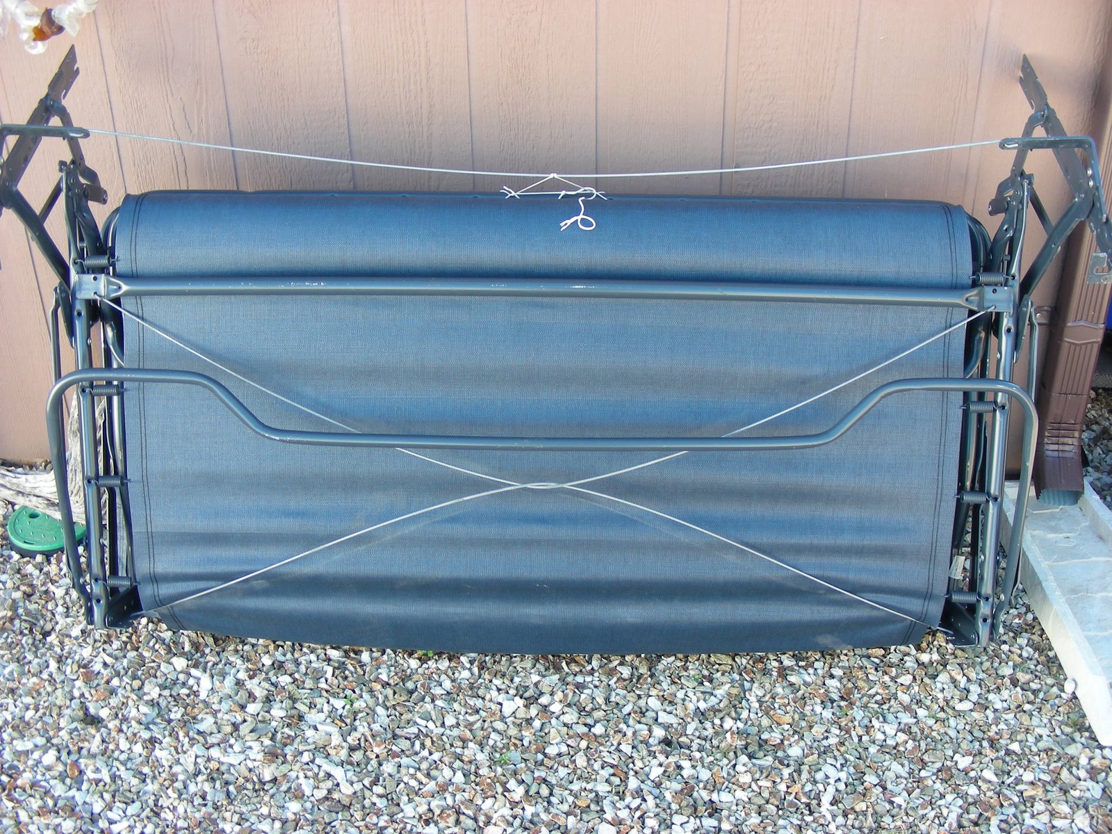
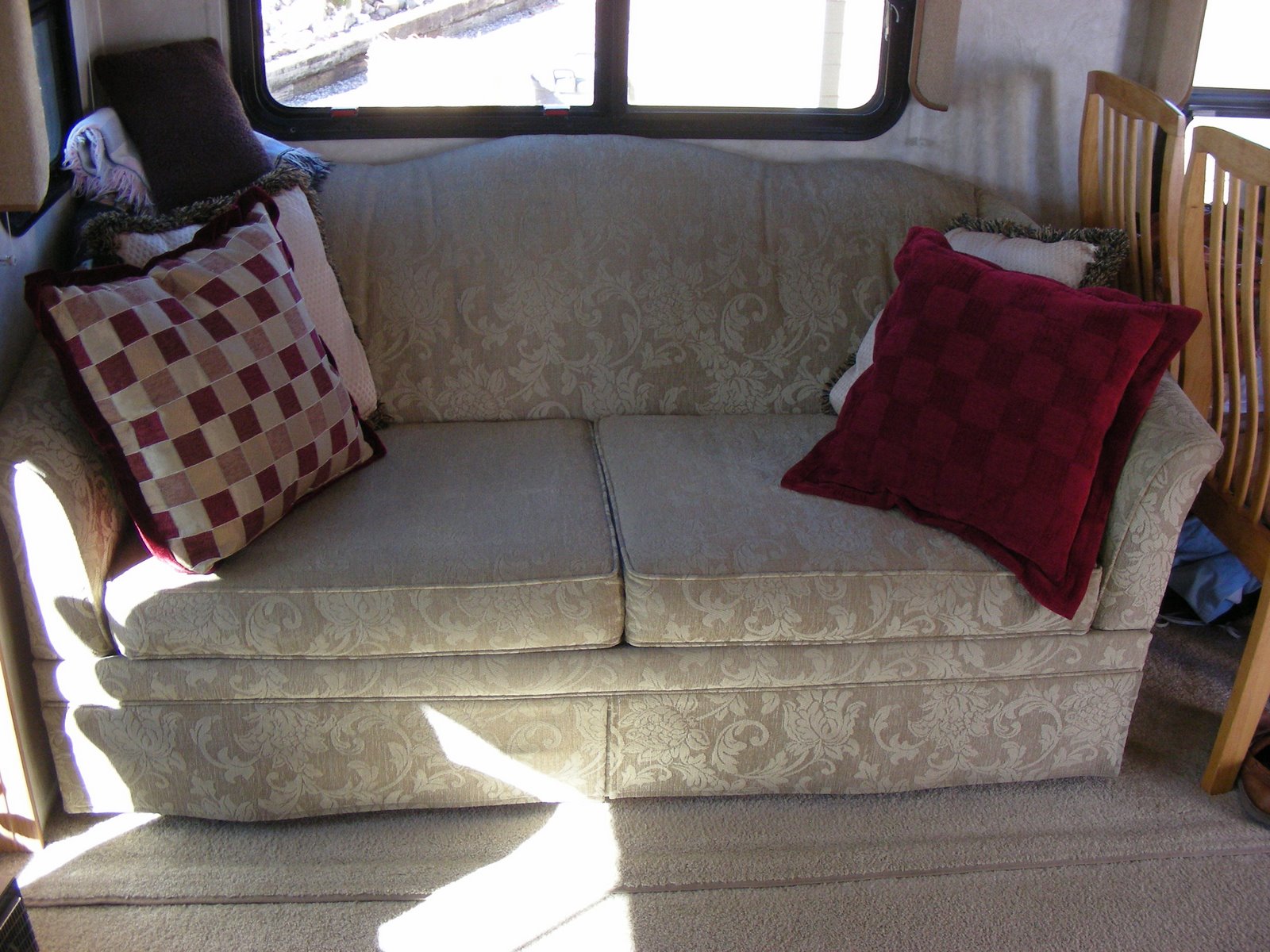
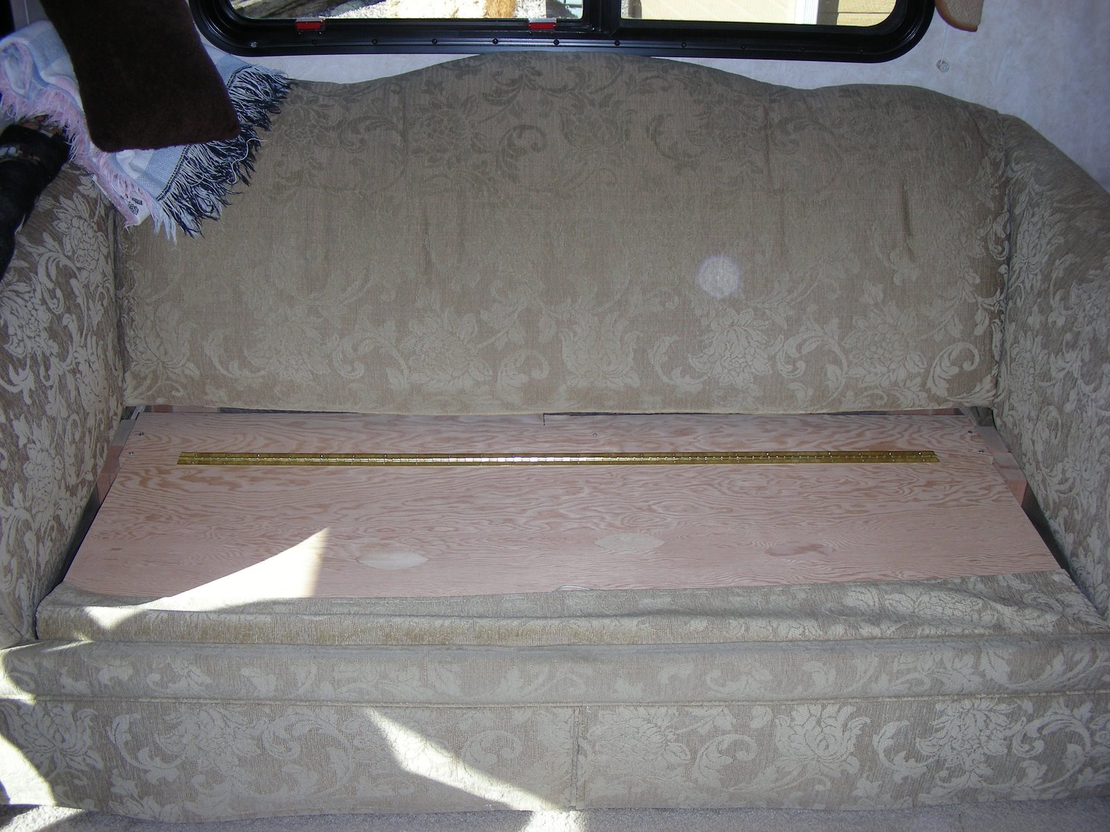 . None of which we used. I have to give all the credit to my Father-in -law for the final design and how well it works. All of my ideas were kind of crude and goofy. The best part for me, Norm is very happy with the new storage, and that is very good for me. Second best is getting half of the vacuum out of my side of the closet. The other half was in Norm’s side, she’s happy, now there’s more room for shoes. Last, but just as good, is the weight savings of venting the insides of the sofa bed. We set it out next to the road with a free sign hoping someone would take it, but that was a no go. We decided to keep the mattress for a future home improvement, but we will have to pay to take the remains to their final resting place (the dump).
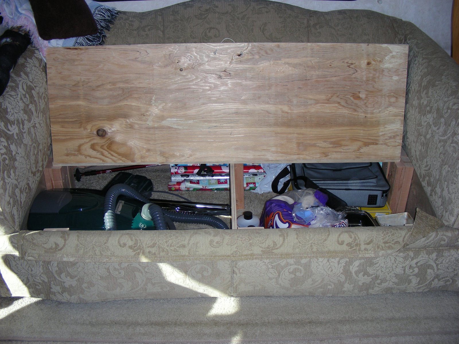


